2D & 3D Drone Mapping in Mackay
Our Drone 2D/3D Pix4D mapping service delivers precise, high-detail aerial data that helps you plan, measure and manage your site with accuracy and confidence.
Advanced Terrain Modelling for Projects
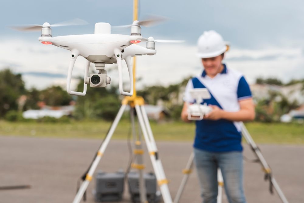
Accurate data drives better decisions, and our Drone 2D/3D Pix4D mapping in Mackay gives you the detailed clarity needed to plan, measure and manage your site with confidence. Jetstream Aerial Services uses RTK-enabled drones and advanced Pix4D software to map your land, assets, solar installations and infrastructure with outstanding precision and consistency.
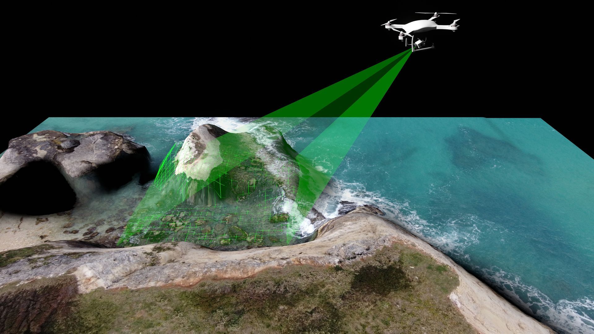
Our mapping captures high-resolution imagery, surface detail, elevation changes and structural variations, producing orthomosaic maps, point clouds and 3D models tailored to your project needs. These outputs support construction planning, agricultural management, environmental monitoring, solar farm design and asset management by highlighting terrain shifts, access constraints, progress updates and potential risks. With every scan, you gain measurable insights that help streamline workflows, reduce on-site guesswork and protect long-term project outcomes.
We focus on accuracy, efficiency and practical reporting that strengthens your planning and operational decisions across any size project. When you need precise aerial mapping that keeps your work moving forward, call us at 0402 228 842.
This service is ideal for teams who need a clear visual understanding of their land, structures or project footprint without relying solely on ground-based measurements. It also supports decision-makers who want reliable, up-to-date site information to streamline planning, improve coordination and keep work progressing smoothly.
Contact Us Today
Thank you for contacting Jetstream Aerial Services.
We will get back to you as soon as possible.
Oops, there was an error sending your message.
Please try again later.
Frequently Asked Questions
How accurate is Pix4D mapping in real-world projects?
Pix4D mapping is highly accurate because it uses RTK positioning and advanced photogrammetry. In Mackay, where properties often span mixed terrain—from coastal flats to undulating farmland—this precision supports surveying, construction planning and asset management with dependable, centimetre-level detail.
What industries benefit most from 3D mapping?
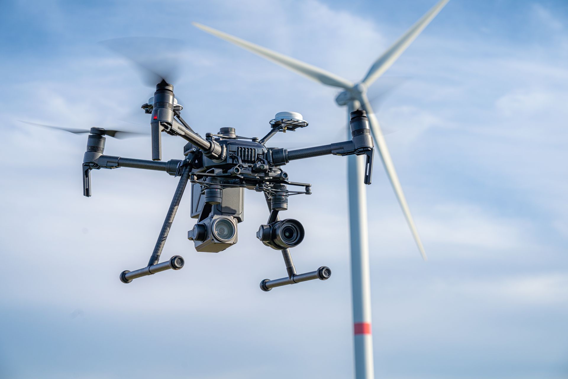
Industries such as construction, agriculture, mining, solar, and asset management gain significant value from 3D mapping. Mackay’s combination of heavy industry, rural landholdings and growing commercial zones makes aerial mapping an essential tool for accurate planning and long-term project oversight.
How fast can mapping results be delivered?
Most properties can be mapped in a single drone flight, with processed data available soon after. This rapid turnaround is ideal for Mackay projects where weather, machinery schedules or land access change quickly and timely information is essential.
Our Drone Mapping Process
Drone 2D/3D Pix4D mapping gives you clear, measurable and highly accurate data to support planning, construction, agriculture and asset management. These steps outline how we capture and process your site information using Drone 2D/3D Pix4D mapping from start to finish:
- Site Assessment: We review your location and mapping goals to determine the best flight plan for accurate data capture.
- Aerial Data Collection: Our drone flies systematic grids to record high-resolution imagery and precise RTK positioning.
- Image Processing: Captured images are uploaded into Pix4D to generate orthomosaics, point clouds and 3D surface models.
- Quality Verification: All outputs are checked for accuracy, clarity and alignment with your project requirements.
- Final Data Delivery: You receive detailed mapping files ready for analysis, planning or integration into existing workflows.
Together, these steps ensure your project benefits from reliable, highly detailed mapping data every time. Reach out today to organise a professional mapping solution for your site.